cartography
18 designs
Showing 18 of 18 (18 total)
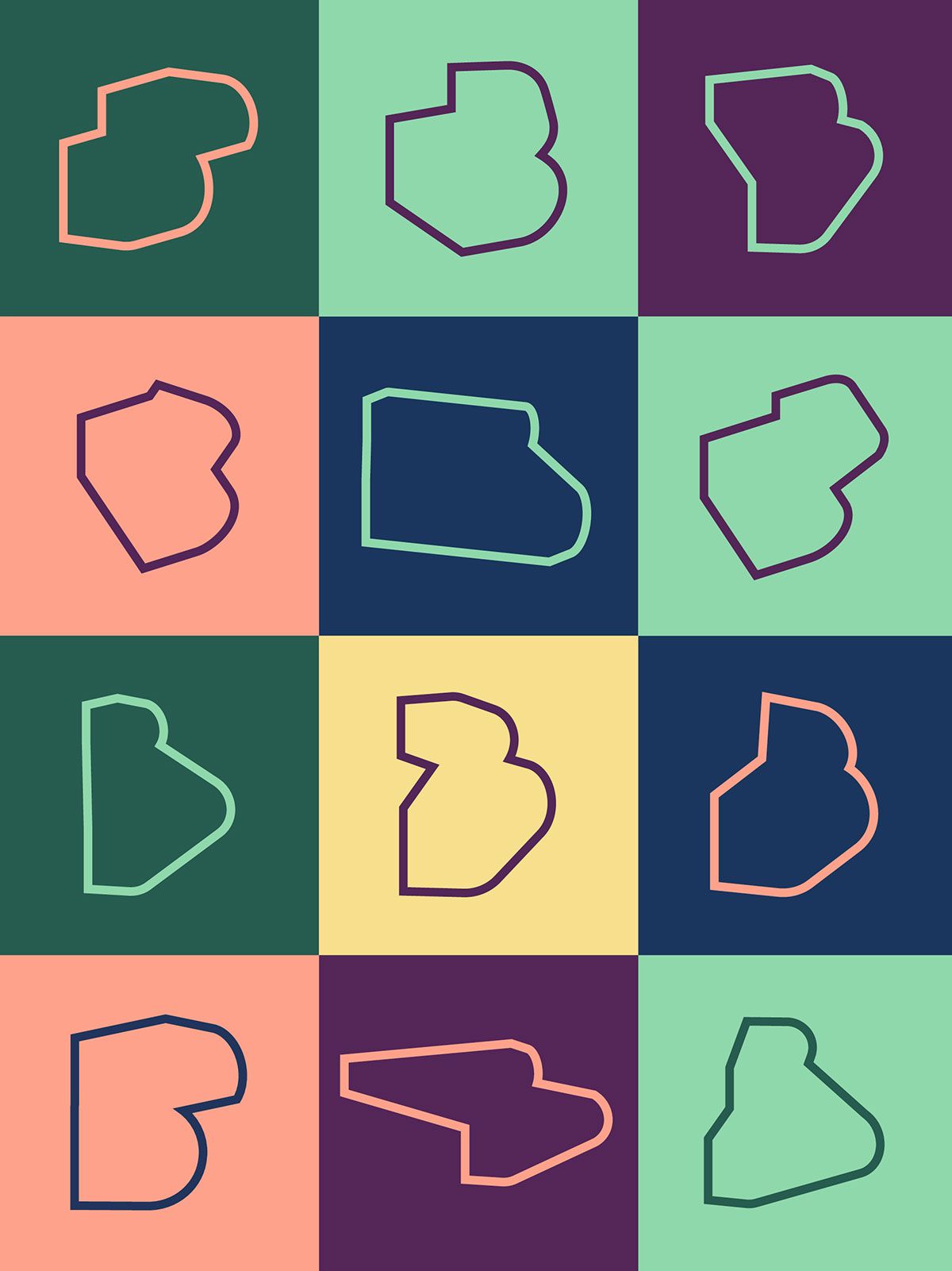
This image is a grid of abstract, simplified shapes, likely representing map outlines or icons, presented in a structured, modular format. The design relies heavily on color blocking and subtle variations in line weight and hue to create visual interest within a constrained grid.
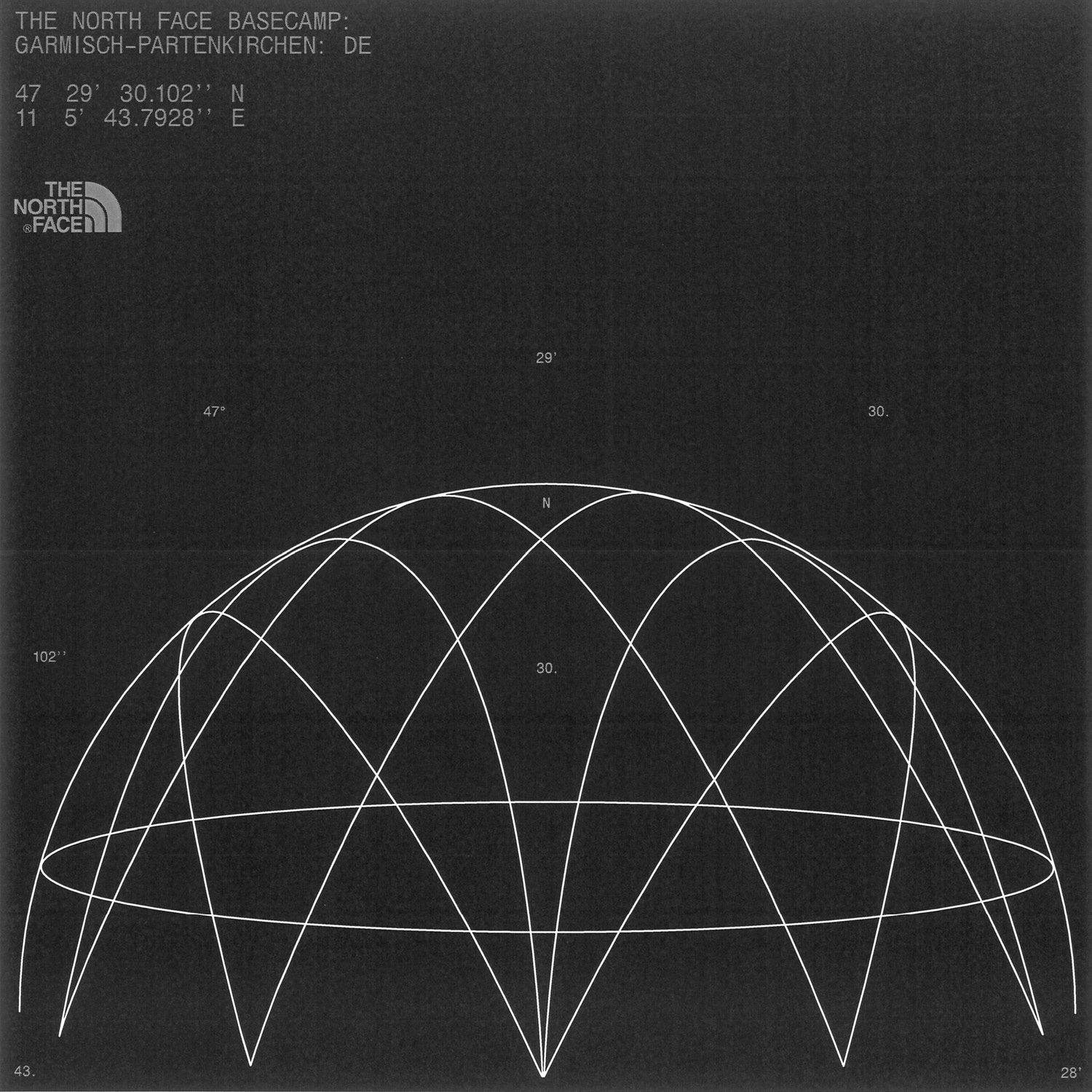
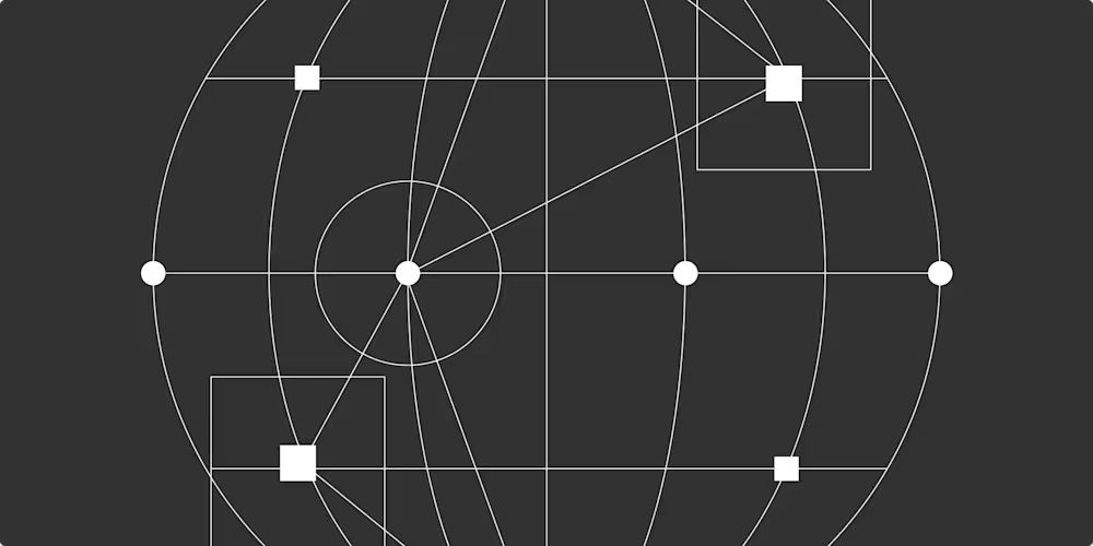
This image is a technical diagram, likely related to geographic or astronomical positioning, featuring a network of intersecting lines overlaid on a partial spherical projection. The visual language is stark, precise, and analytical, emphasizing geometric relationships over aesthetic embellishment.
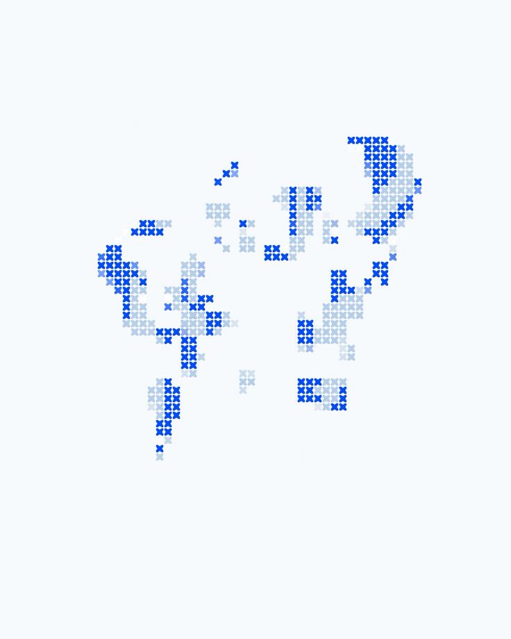
The image is an abstract, minimalist representation of a map or geographical area rendered using small, scattered blue crosshatch patterns. The design conveys a sense of data visualization, subtle texture, and perhaps an outline of a region.
This image is a low-fidelity, pointillist map or data visualization rendered in white dots on a light gray background. The visual language is sparse and abstract, focusing purely on spatial distribution rather than detailed geography.
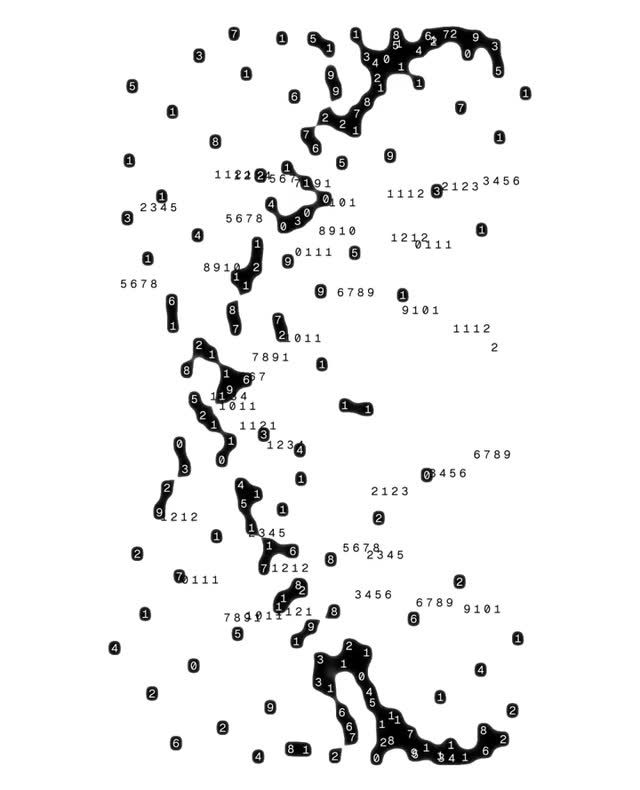
A minimalist data visualization mapping geographic regions through connected nodes and numerical labels on a white background. The design uses a connect-the-dots aesthetic to represent territorial boundaries, with scattered reference numbers creating an abstract, technical appearance reminiscent of cartographic or network analysis.
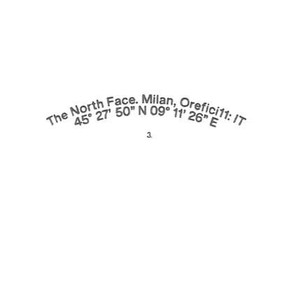
Minimalist design featuring curved text arranged in a circular path with geographic coordinates, creating a subtle, sophisticated visual. The composition emphasizes typography and spatial precision with a clean, understated aesthetic against a white background.
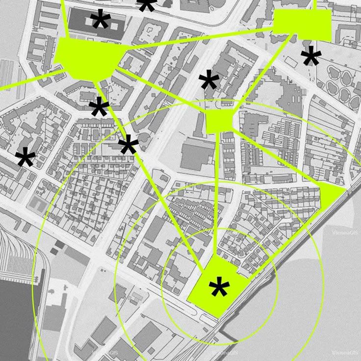
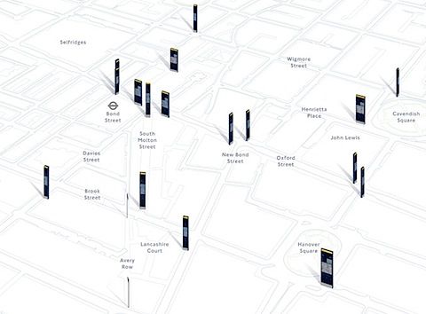
This image is a schematic map or plan overlaid with various geometric shapes and markers, suggesting an urban planning, GIS, or spatial analysis context. The visual language is clean, technical, and analytical, relying heavily on lines, polygons, and contrasting colors to delineate areas of interest.
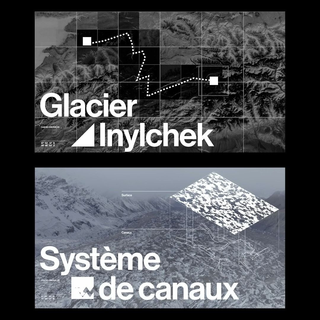
The image presents a stark, monochromatic map or topographical visualization focusing on glacial features and drainage systems. The design is clean, technical, and academic, relying heavily on line work and spatial representation to convey geological information.
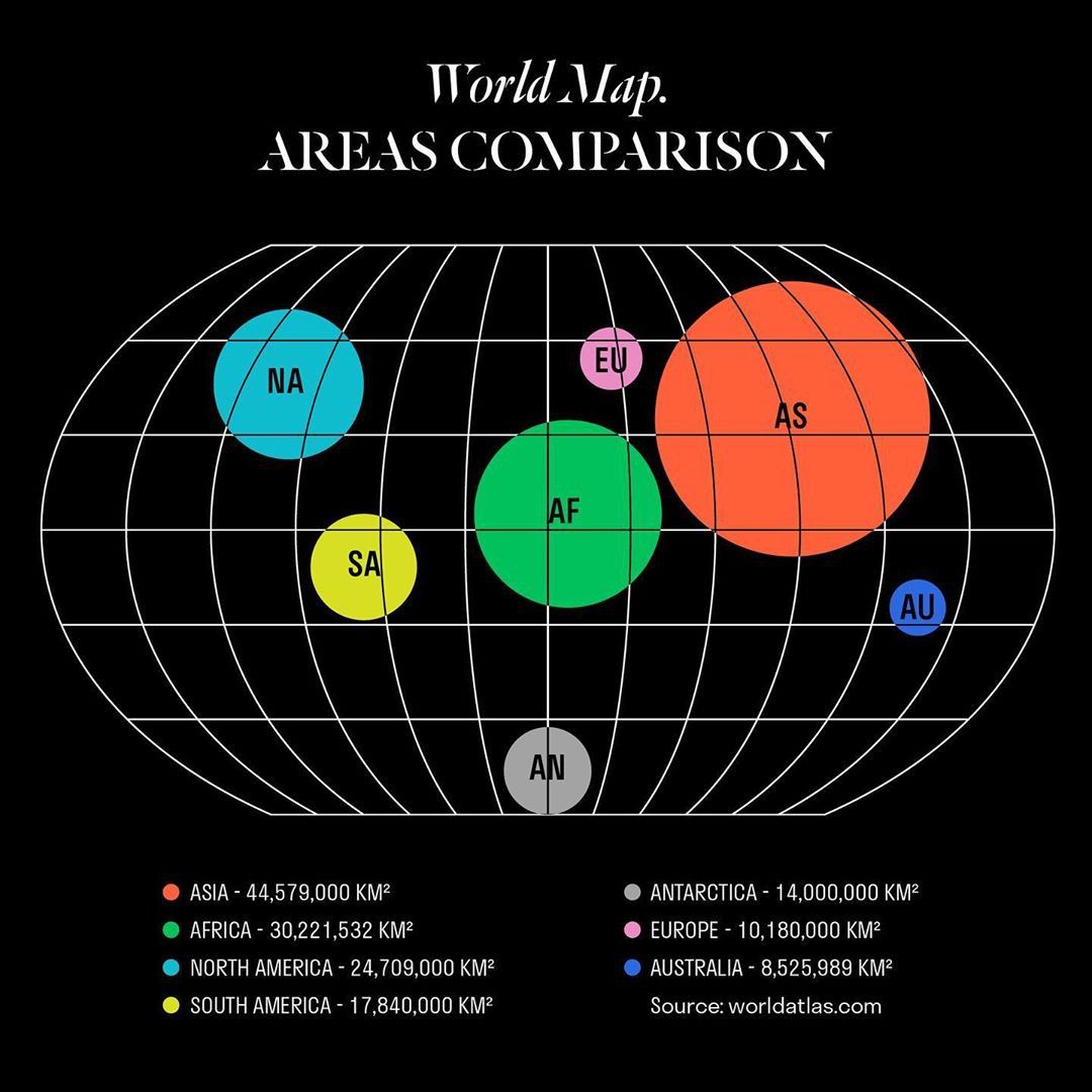
This is a schematic world map comparison infographic using a spherical projection to visually compare the landmasses of continents. The design is clean, utilizing distinct colored circles overlaid on a grid to clearly delineate regional areas.
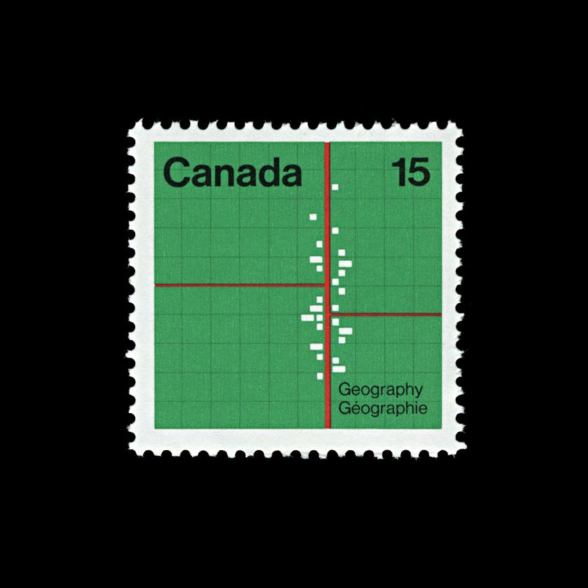
This design utilizes a clean, grid-based structure typical of cartographic or educational graphics to present a postal stamp. The visual language is precise and informational, employing simple geometric elements and contrasting colors to delineate text and design features.
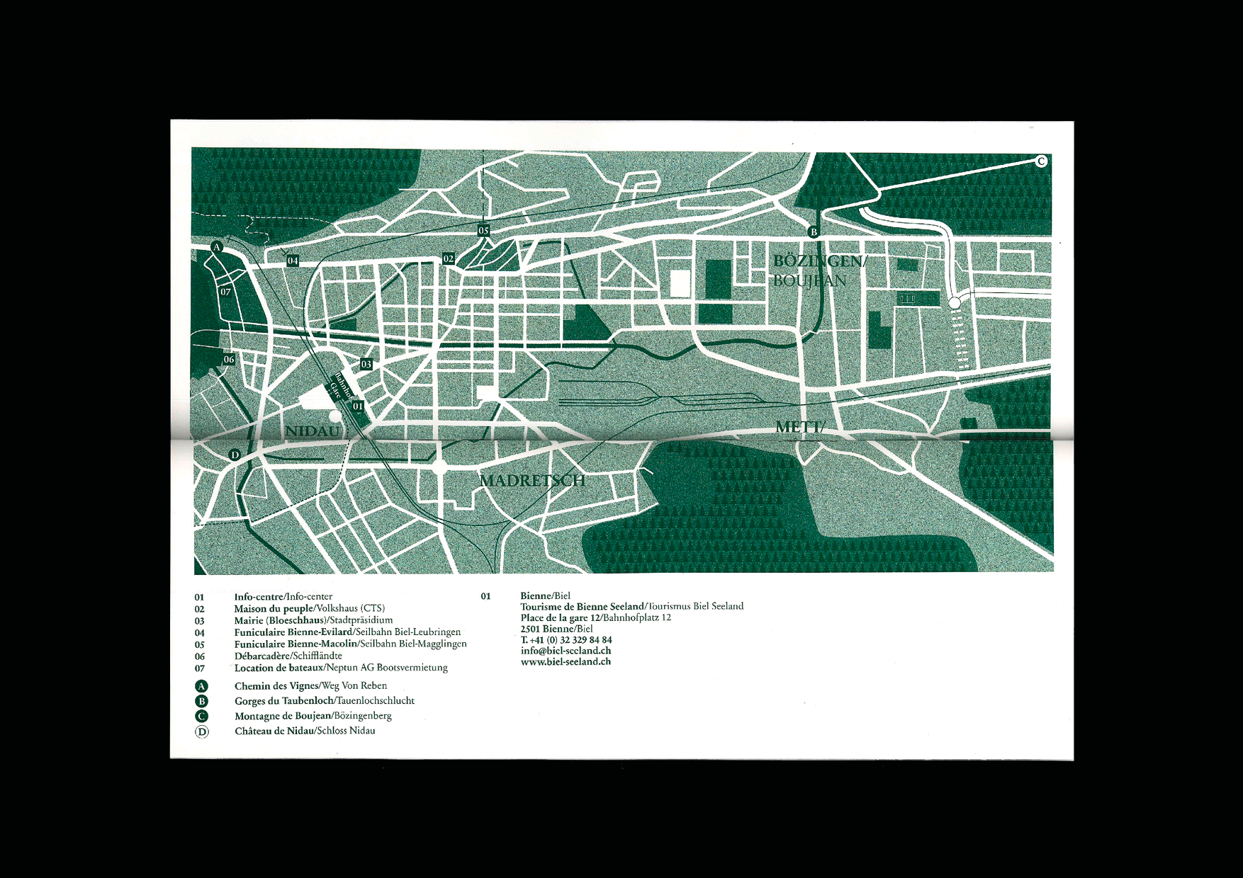
This image is a highly detailed schematic map, employing a clean vector graphic style to illustrate geographical layout and infrastructure. The visual language is precise, relying on sharp lines and distinct color blocking to categorize different zones and features.
This design employs a highly minimalist and technical visual language, using precise line work and clean geometry to represent spatial relationships. The focus is entirely on clarity, functionality, and the accurate representation of infrastructure or location data.
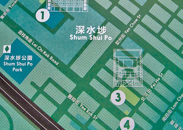
This design employs a clean, schematic visual language typical of detailed cartography. It uses grid structures and muted greens to organize complex spatial information with high clarity and precision. The overall feel is highly functional, organized, and informative.
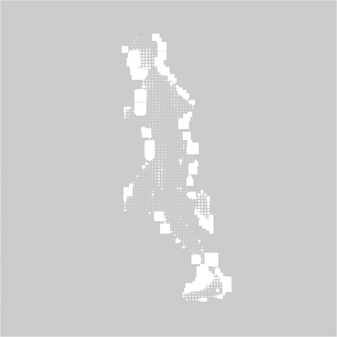
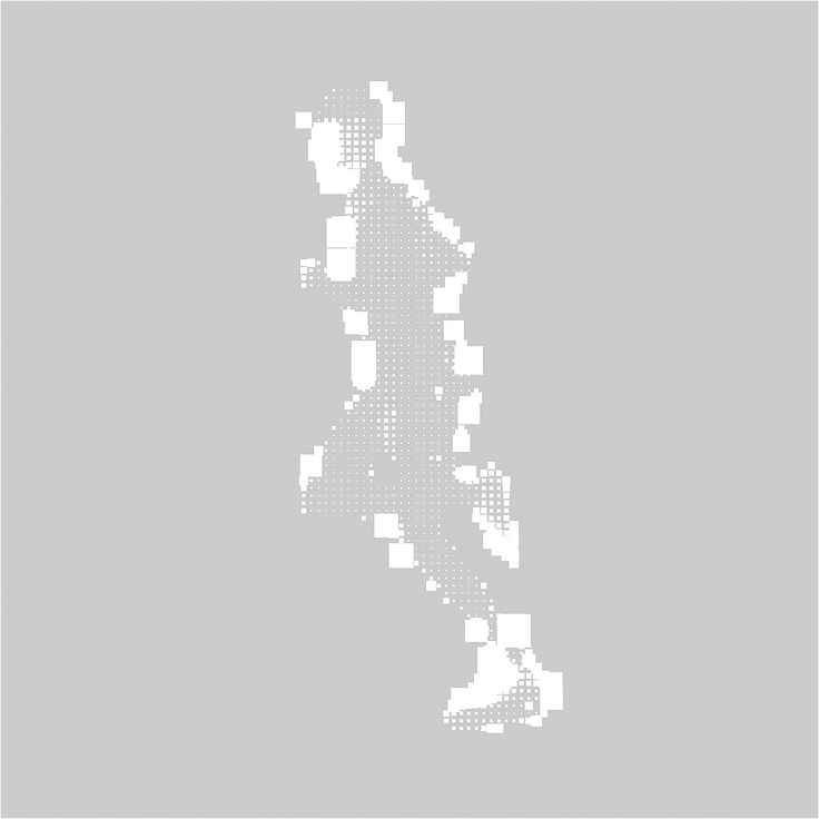
This image is a detailed data visualization depicting features distributed along an elongated vertical shape, utilizing varying densities of white pixels to convey magnitude or presence. The design employs a clean, subtle grayscale palette that emphasizes texture and density over overt color.
This design utilizes a minimalist, technical aesthetic featuring geometric lines and markers superimposed on a spherical grid, suggesting concepts of mapping or data visualization. The visual language is clean and precise, focusing on spatial relationships and mathematical structure rather than organic representation.
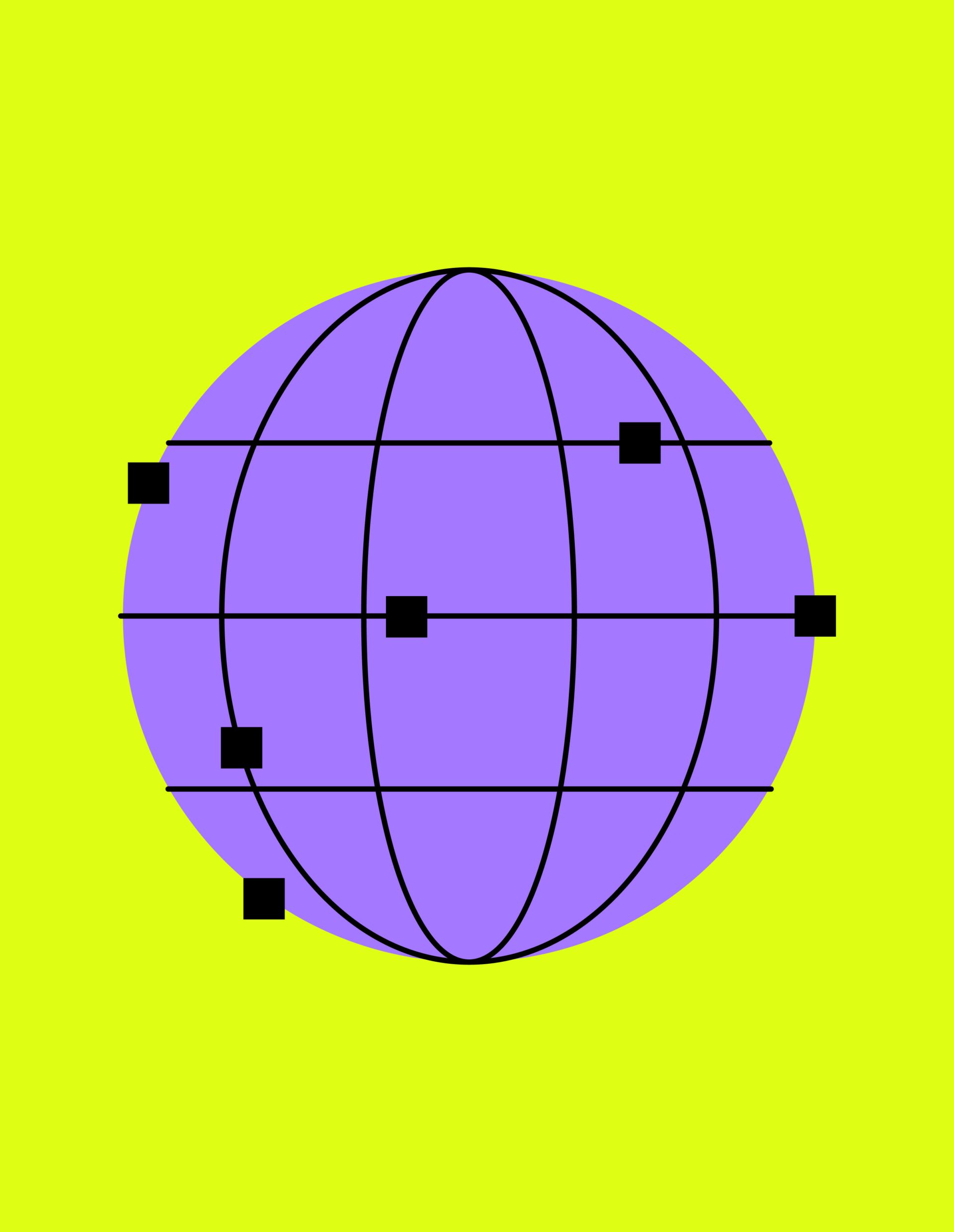
This is a clean, minimalist graphic featuring a stylized purple globe overlaid with a precise grid structure. The design uses simple geometric shapes and high contrast against a bright lime green background, creating an organized and technical aesthetic. The visual language emphasizes mapping, data points, and global connectivity.
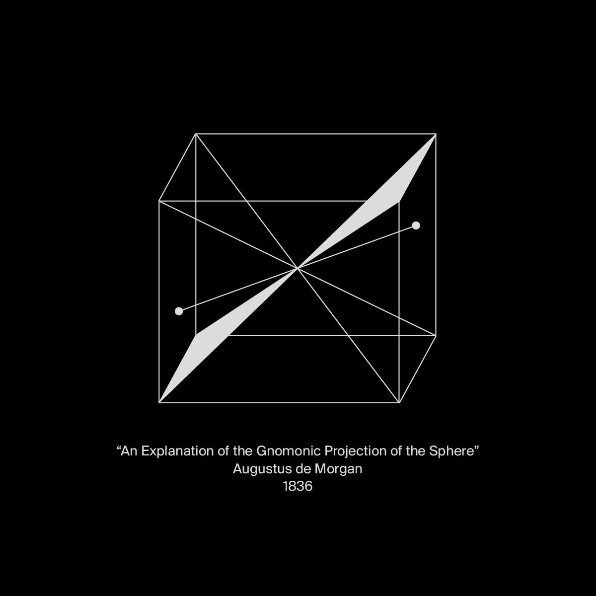
This is a minimalist scientific diagram rendered in high-contrast black and white, illustrating a specific geometric projection. The design emphasizes precision and historical academic purpose through clean lines and stark contrast against the dark background.
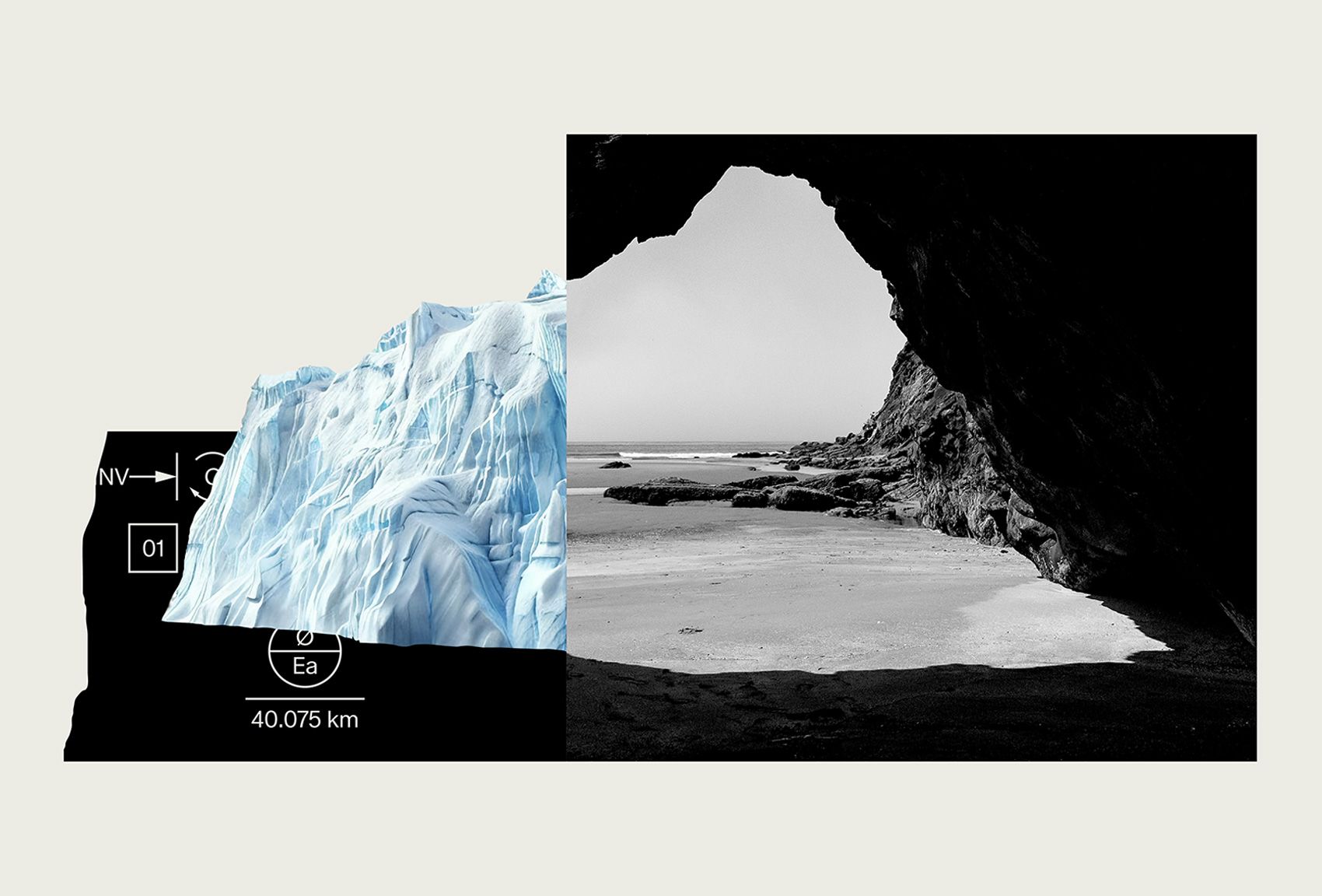
This design utilizes high contrast and juxtaposition to present geological imagery, pairing the fragile texture of glacial ice with the immense scale of dark rock and seascape. The visual language is stark and dramatic, employing negative space effectively to draw attention to both the icy detail and the rugged terrain. The overall feel is scientific, powerful, and deeply atmospheric.